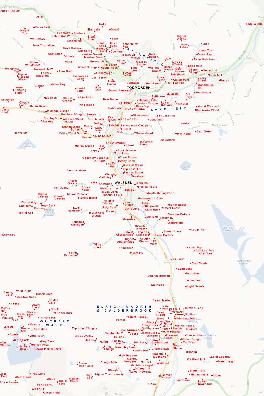
Map of Todmorden and Walsden
This map shows the towns of Todmorden and Walsden, giving the location (in red) of all major farms and settlements; places in capitals are areas, those in lower case are specific buildings or groups of buildings. The region north of the A646 (Burnley Road and Halifax Road) is part of the Stansfield township, that south of Halifax Road and east of the northern section of Rochdale Road is part of the Langfield township, while the majority of the rest of the area is part of the Todmorden & Walsden township. This is bordered in the south by Wuerdle & Wardle, and Blatchinworth & Calderbrook.Return to index page